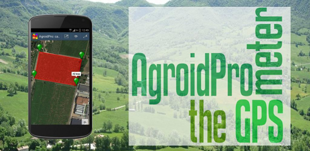
About Agroid Pro GPS Area Measure
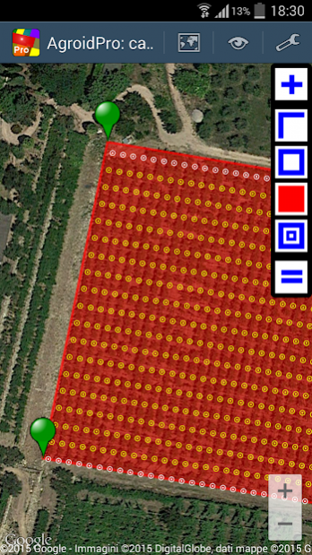
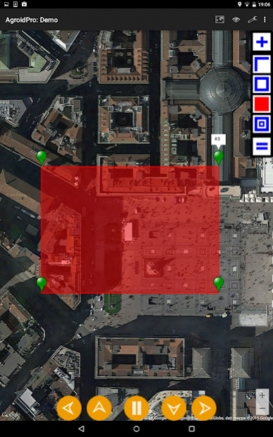
AgroidPro can measure distances, perimeters and areas (metric, imperial and Thai units for length and area): it is useful for measuring any planimetric element such as lands, fields or buildings (app designed for a high...
AgroidPro can measure distances, perimeters and areas (metric, imperial and Thai units for length and area): it is useful for measuring any planimetric element such as lands, fields or buildings (app designed for a high OUTDOOR visibility, no internet required).
If you are looking for more than a regular map ruler to measure areas, you have found it! This app has got lots of unique features that make it one of the best choices on the market!
UNIQUE FEATURES:
➜ GPS collection and measuring by just walking/driving around (TRACKING mode)
➜ High accuracy using AVERAGE GPS and MARKER FINE REPOSITIONING
➜ Survey complete of geotagged PHOTOGRAPHS and user NOTES
➜ Map and data SHARING
➜ KML and TXT data EXPORTING
➜ PLANT CALCULATION: plant quantity for the current area
➜ TRELLIS LAYOUT: layout of the trellis directly on the map!
➜ TRELLIS CALCULATION: end/line post and wire quantity for the current layout
➜ ROOF AREA CALCULATION: real roof area from the planimetric area
➜ DRIP LINE RATE CALCULATION: application rate and drip tubing length
➜ ELLIPSOID HEIGHT and DRMS CALCULATION
➜ Possible to use external Bluetooth receivers (see appendix 4)
➜ Maps can be downloaded in advance avoiding any internet connection during a survey
DETAILS:
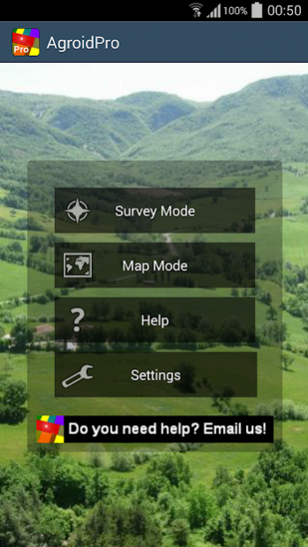
AgroidPro has different operating modes:
- Survey mode (to measure without maps, GPS driven)
+ Map mode (to measure with maps, Map driven, Android 3+)
+ Mixed mode (satellite & manual)
Coordinates can be retrieved from different sources:
- GPS (points collected according the specified accuracy)
+ Average GPS (average of points collected in the specified period)
- Tracking (satellite points collected according to specified rate/interval)
- Reference (lat/lon manual input)
+ Map center marker (lat/lon specified on the map)
+ Address (any postal address)
+ KML file import (any Point, Polyline, Polygon)
Map providers:
- Google Maps (Satellite, Street, Hybrid, Terrain)
- Open Street Map (OSM)
Coordinates can be viewed or shared with different standards (WGS 1984):
- Global Positioning System coordinates (EPSG:4326)
+ Web mercator coordinates (EPSG:3857)
+ UTM coordinates
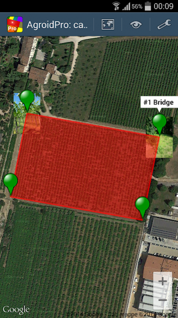
Main geographical point functions:
- delete
- edit
- move
+ distance to next
+ angle
+ angle to next
+ add/edit note
+ add/edit picture
+ navigate to
Main document functions:
- Maps
- Views
- Toolbar
- Zoom
- Select point
- File (New, Open, Save, Export, Delete)
+ Calculator (Planting, Trellis, Roofing, Drip Irrigation )
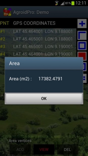
- Measure (Distance, Perimeter, Area)
+ Backup/Restore
- Share
Available measurements units:
+ Length units: meter, km, feet. yards, miles, wa
+ Surface units: sq m, sq km, ha, sq feet, sq yards, sq miles, acres, tarang wa, ngan, rai
Multilanguage: English, Italiano
Follow the automatic hints in order to use the app properly.
Read the embedded User Guide:read carefully the accuracy chapter to achieve the best results!
For any info or troubleshooting you can contact us at
[email protected].
Previous Versions
Here you can find the changelog of Agroid Pro GPS Area Measure since it was posted on our website on 2014-06-13 12:51:04.
The latest version is 5.0.8 and it was updated on 2024-04-22 16:25:37. See below the changes in each version.
Agroid Pro GPS Area Measure version 5.0.8
Updated At: 2021-11-07
Changes: Minor issues
Agroid Pro GPS Area Measure version 5.0.1
Updated At: 2021-01-29
Changes: Screen dimmer in settings
Agroid Pro GPS Area Measure version 5.0.0
Updated At: 2019-10-29
Changes: Mode with position markers only
Agroid Pro GPS Area Measure version 4.2.0
Updated At: 2018-01-09
Changes: Drip tubing calculation
Agroid Pro GPS Area Measure version 3.2.3
Updated At: 2016-09-01
Changes: 3.2.3,- New poiint source in map mode: KML import,- User guide update,3.2.2,- Navigate to a point function,- User guide update
Agroid Pro GPS Area Measure version 1.0.23
Updated At: 2013-05-22
Changes: Several fixes and updates